Our EagleEye UAV maps to centimetre accuracy in 3D high definition to identify problematic areas. Additionally, we can map and record asset locations and condition.
Previous
Next
AeroCeres
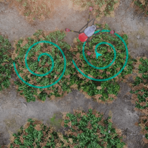
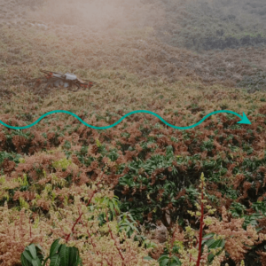
Our AeroCeres UAV can deliver liquid and solid payloads up to 15kg to precise locations to ensure minimal drift and off target delivery. Greenhouses or under canopy operations can be conducted with terrain following radar equipment.
Proagco commits to no cost surprises. Wherever possible, PROAGCO will provide fixed prices per acre for each part of their services prior to commencing work.